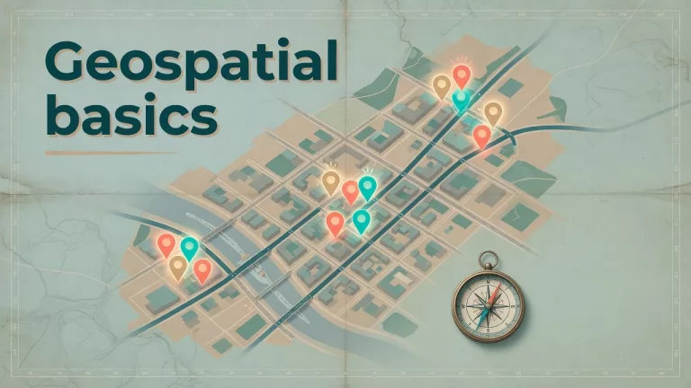
This path is for you if a map feels like the serious way to show a number. Two parts: when a map actually helps, and how a map misleads. Start with the first part on this page. If a bar would answer the question, use the charts series instead.
- 1 When maps and location data actually help your analysis Geospatial analysis helps when location changes the decision, not when a map would merely look executive. Learn good-fit use cases, weak-fit traps, and a project card before you plot a single point.
- 2 How to make data maps that inform without misleading people Maps persuade fast, which is why bad bins and raw-count choropleths mislead so well. Use an honest map path: question, aggregation, color scale, and caveats you refuse to hide.